
- elevation 669 ft (204 m) | - elevation 46 ft (14 m) | |
 | ||
- location of North Fork Orestimba Creek and South Fork Orestimba Creek., Stanislaus County, California - location at the San Joaquin River, about 7 1/2 miles north of Newman, in Stanislaus County | ||
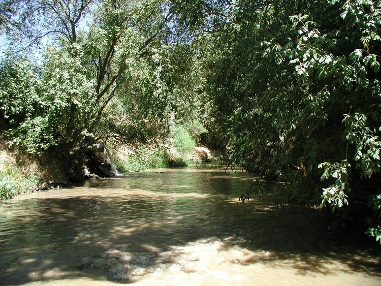
Orestimba Creek, originally Arroyo de Orestimba (Orestimba, a Yokutsan word for Meetingplace) is a tributary of the San Joaquin River draining eastern slopes of part of the Diablo Range within the San Joaquin Valley of California.
Contents
Map of Orestimba Creek, California 95313, USA
The Creek has its source at the confluence of the north and south forks of Orestimba Creek and its mouth at the San Joaquin River, is about 7 1/2 miles north of Newman in Stanislaus County.
HistoryEdit
Arroyo Orestimba was a watering place on El Camino Viejo in the San Joaquin Valley and was the primary water source for Rancho Orestimba y Las Garzas near its northern boundary. The ranch house of Rancho Orestimba y las Garzas, was built above the sycamore grove on Arroyo de Orestimba.
References
Orestimba Creek Wikipedia(Text) CC BY-SA