
Existed: 2003 – present Constructed 2003 | Length 5.52 km | |
 | ||
North end: State Line Road near Ferndale | ||
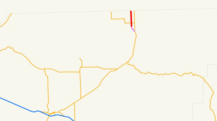
Oregon Route 339 (OR 339) is an Oregon state highway running from the Washington state line near Ferndale to Milton-Freewater. OR 339 is known as the Freewater Highway No. 339 (see Oregon highways and routes). It is 3.43 miles (5.52 km) long and runs north–south, entirely within Umatilla County.
Contents
Map of OR-339, Milton-Freewater, OR 97862, USA
OR 339 was established in 2003 as part of Oregon's project to assign route numbers to highways that previously were not assigned, and, as of July 2010, was unsigned.
Route description
OR 339 begins at an intersection with State Line Road approximately one and one half miles north of Ferndale, at the Washington state line, and heads south through Ferndale and Sunnyside. Approximately one-half-mile south of Sunnyside, OR 339 intersects OR 332. OR 339 ends at the Milton-Freewater northern city limit.
History
OR 339 was assigned to the Freewater Highway in 2003.
Major intersections
The entire route is in Umatilla County.