
Country United States Area code(s) 458 and 541 Elevation 257 m | Time zone Pacific (PST) (UTC-8) GNIS feature ID 1136284 Local time Friday 4:55 PM | |
 | ||
Weather 15°C, Wind SW at 14 km/h, 57% Humidity | ||
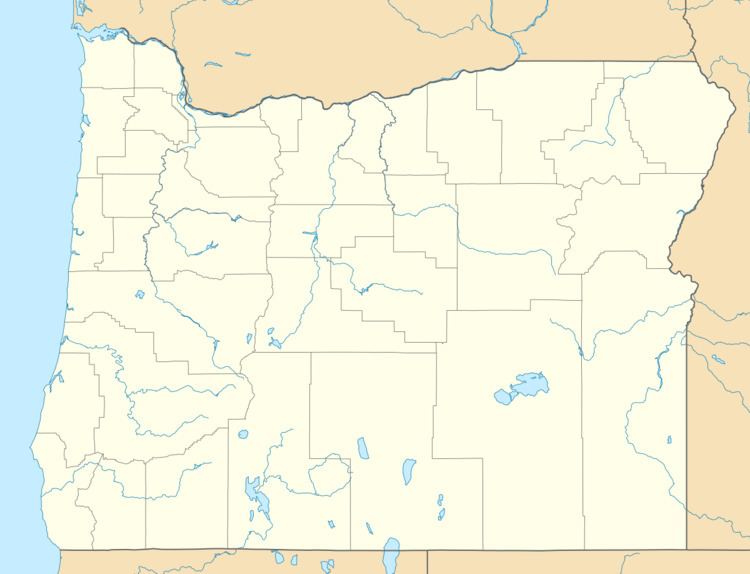
Ferndale is an unincorporated community in Umatilla County, Oregon, United States. It is near the Oregon–Washington border east of Oregon Route 339 and west of Oregon Route 11 about 4 miles (6 km) north of Milton-Freewater.
Map of Ferndale, OR 97862, USA
Ferndale was once a station on the Walla Walla Valley Railway (WWVR), which served the local fruit orchards, and the site of a fruit packing warehouse. The next station south on the line was at Sunnyside. Ferndale Elementary School is part of the Milton-Freewater Unified School District.
References
Ferndale, Oregon Wikipedia(Text) CC BY-SA