
Length 34.4 km | ||
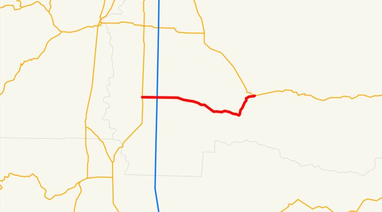 | ||
Oregon Route 228 is an Oregon state highway that runs between the city of Halsey in the Willamette Valley and the city of Sweet Home in the Cascade foothills. The highway is also known as the Halsey-Sweet Home Highway No. 212 (see Oregon highways and routes), and is 21 miles (34 km) long. It lies entirely within Linn County.
Contents
Map of OR-228, Oregon, USA
Route description
Oregon Route 228 begins (at its western terminus) at its junction with Oregon Route 99E in Halsey. It heads east from there, crossing Interstate 5 approximately 2 miles (3.2 km) to the east, then passing through the city of Brownsville. The highway continues to the east, ending at an intersection with U.S. Route 20 in Sweet Home.
Intersections with other highways
References
Oregon Route 228 Wikipedia(Text) CC BY-SA