
ZIP codes 97882 Elevation 179 m Area code 541 | Time zone Pacific (PST) (UTC-8) GNIS feature ID 1136600 Zip code 97882 | |
 | ||
Weather 3°C, Wind S at 10 km/h, 91% Humidity | ||
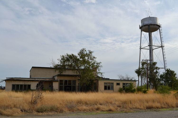
Ordnance is a ghost town in Umatilla County, Oregon, United States, southwest of Hermiston on Interstate 84/U.S. Route 30, near the intersection with Interstate 82. In 1941, the United States Department of War commissioned the establishment of Umatilla Ordnance Depot in northern Umatilla County; it was later renamed Umatilla Army Depot and then Umatilla Chemical Depot. The town was named after the depot, and Ordnance post office was established in 1943. By the 1960s, Ordnance was no longer a community.
References
Ordnance, Oregon Wikipedia(Text) CC BY-SA