
Postal code (street) 1995 Local time Sunday 6:59 AM | PO box 1995 Area code 016 | |
 | ||
Weather 14°C, Wind NE at 18 km/h, 82% Humidity | ||
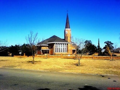
Oranjeville is a small town situated on the banks of the Wilge River in the Free State province of South Africa.
Map of Oranjeville, South Africa
The town is on the southern bank of the Vaal Dam, 14 kilometres (9 mi) south-east of Deneysville and 46 kilometres (29 mi) north-east of Heilbron. It takes its name from the Orange Free State, Oranje-Vrystaat in Afrikaans.
It was established as a stop-over for wagoners travelling between Heilbron, Frankfort and Vereeniging. It was named after the Prince of Orange of the Netherlands. The main road passing though the town is the R716 road, called Malan Street in Oranjeville.
References
Oranjeville Wikipedia(Text) CC BY-SA