
- elevation 1,451 m (4,760 ft) - elevation 195 m (640 ft) Length 47 km Basin area 399 km² Country Romania | - location near Orăștie - average 2.00 m/s (71 cu ft/s) Discharge 2 m³/s Mouth Mureș Cities Orăștie | |
 | ||
- location Șureanu Mountains, Mount Zebru | ||
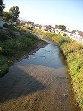
The Orăștie River is a left tributary of the river Mureș in Romania. It discharges into the Mureș near the town Orăștie.
Contents
Map of Or%C4%83%C8%99tie, Romania
The upper reach of the river is also known as Godeanu River. The middle reach is locally known as Grădiștea River or Beriu River. The lower reach, downstream of the junction with the Sibişel is known as Apa Orașului River (Hungarian: Városvíz, meaning "Townwater")
TributariesEdit
The following rivers are tributaries to the river Orăștie:
MapsEdit
References
Orăștie River Wikipedia(Text) CC BY-SA