
Country Belgium Area codes 050 Postal code 8020 | Postal codes 8020 Website www.oostkamp.be Local time Saturday 10:09 AM Area code 050 | |
 | ||
Weather 10°C, Wind NE at 26 km/h, 63% Humidity Governing party Christen-Democratisch en Vlaams | ||
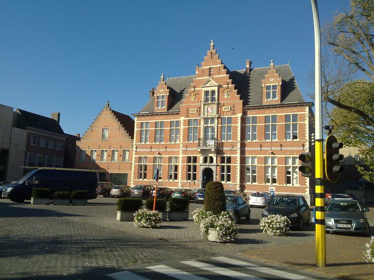
Oostkamp ( [ˈoːstkɑmp]) is a municipality located in the Belgian province of West Flanders. The municipality comprises the villages of Hertsberge, Oostkamp proper, Ruddervoorde and Waardamme. On January 1, 2014, Oostkamp had a total population of 23.016. The total area is 79.65 km² which gives a population density of 289 inhabitants per km².
Contents
- Map of 8020 Oostkamp Belgium
- History
- Oostkamp during World War II
- Fusion of 1977
- Sister cities
- References
Map of 8020 Oostkamp, Belgium
History
The name Oostkamp comes from the Medieval name "Orscamp", meaning place of the horses. The old word ors is identical with the English word horse.
Oostkamp during World War II
The Canadian 4th Armoured Division liberated the village on 8 September 1944 (World War II) during the Battle of Moerbrugge. A monument was erected by the Ghent-Bruges Canal to honour the 53 Canadian casualties.
Fusion of 1977
With the Belgian Unity Law the four villages of Oostkamp proper, Hertsberge, Ruddervoorde and Waardamme became the Municipality of Greater Oostkamp