
Existed: April 13, 1938 – 1979 Length 31.1 km | Counties: Essex Constructed 13 April 1938 | |
 | ||
West end: Highway 18 in Malden Center Towns Amherstburg, Colchester, Ontario, Kingsville | ||
King's Highway 18A, commonly referred to as Highway 18A, was a provincially maintained highway in the Canadian province of Ontario which was the southernmost provincial highway to ever exist in Canada. Since 1979, the entire route has been known as Essex County Road 50. The route began and ended at Highway 18, looping through Colchester.
Contents
Route description
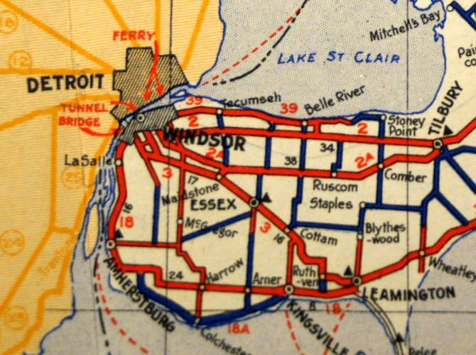
Highway 18A was a short looping route that served the short headland that protrudes into Lake Erie between Amherstburg and Kingsville in the southernmost part of Essex County. It began and ended at junctions with the former Highway 18, now Essex County Road 20, that are approximately 25.8 kilometres (16.0 mi) apart on that road. The route itself is 31.1 kilometres (19.3 mi) long, detouring to the south along the shore of Lake Erie and passing through Colchester.
History
Highway 18A was first assigned during the late 1930s. The route remained consistent until its decommissioning during the late 1970s. It is now designated as Essex County Road 50 along its entirety and as Heritage Road east of Colchester. The highway was assumed by the Department of Highways on April 13, 1938. In 1979, the highway was transferred in its entirety to Essex County. Today, the route is known as Essex County Road 50.
Major intersections
The following table lists the major junctions along Highway 18A, as noted by the Ontario Department of Highways. The entire route was located in Essex County. The route is documented as it existed in 1970.