
Length 75.2 km | Constructed 19 October 1955 | |
 | ||
Existed: October 19, 1955 – present East end: Highway 11 near Sundridge | ||
King's Highway 124, commonly known as Highway 124, is a provincially maintained highway in the Canadian province of Ontario. The highway connects Highway 69 in Parry Sound with Highway 11 in Sundridge, a distance of 75.2 km (46.7 mi), including a 15.4 km (9.6 mi) concurrency with Highway 520. It is one of several highways in central Ontario to provide this connection through the Muskoka and Parry Sound region, and the northernmost King's Highway prior to Highway 17.
Contents
Map of Hwy 124, Ontario, Canada
Route description
Highway 124 is one of several highways connecting the Highway 11 and Highway 69/400 corridors between Barrie and Highway 17. The route is generally lightly travelled, primarily serving local communities along the corridor. Besides Highway 520, only one other provincial highway, Highway 510, is encountered along the route. There are no large communities along the route between Parry Sound and Sundridge, however there are several small communities including Waubamik, McKellar, Dunchurch and Ahmic Harbour. The village of Magnetawan is also located a short distance south of the highway.
The route begins immediately north of Parry Sound at Exit 231 on Highway 400. From that interchange, the highway progresses northwards through the Municipality of McDougall, passing through the communities of Badger's Corners and Waubamik, where it encounters the Bunny Trail, before curving east and weaving around dozens of lakes. Curving north, the highway enters McKellar, then the Municipality of Whitestone. Within Whitestone, the highway wanders northeast through communities including Fairholme, Sunny Slope and Dunchurch before turning east and meeting Highway 520 near Whitestone Lake, which travels concurrently with Highway 124 for 15.4 km (9.6 mi). It also passes between two reserves: the Shawanaga Lake Provincial Conservation Reserve, which lies northwest of Sunny Slope, and the Ahmic Forest and Rock Barrens Provincial Conservation Reserve, which lies south of the highway as it passes from Whitestone into the Municipality of Magnetawan. The route wanders along the shore of Ahmic Lake, passing the community of Ahmic Harbour and later crossing the Magnetawan River immediately north of Knoepfli Falls.
The highway weaves through forests and exposed Canadian Shield as it travels eastward. North of the town of Magnetawan, Highway 520 departs to the south to pass through the community. Shortly thereafter, Highway 124 meets Highway 510 at the Nipissing Colonization Road. The route travels in a straight line due east for several kilometres, dipping south momentarily then entering the community of Pearcley. After this, the highway enters Strong Township. It passes through the community of Strong and continues generally eastward for several kilometres before ending at a new junction with Highway 11.
History
Highway 124 was first assumed by the Department of Highways on October 19, 1955, with a length of 79.4 km (49.3 mi) in length. Although minor realignments over the years since have reduced that length to 75.2 km (46.7 mi), the highway has remained relatively unchanged since its designation.
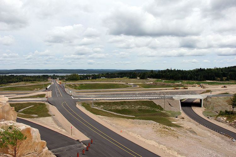
With the completion of the Sundridge Bypass in 2012, Highway 124 was extended eastward approximately 14 km (8.7 mi) through Sundridge and South River along the former route of Highway 11.
Major intersections
The following table lists the major junctions along Highway 124, as noted by the Ministry of Transportation of Ontario. The entire route is located in Parry Sound District.