
Rural localities 30 Founded 1924 | Rural settlements 10 Area 11,696 km² | |
 | ||
Municipally incorporated as | ||
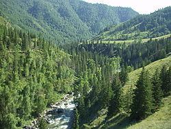
Ongudaysky District (Russian: Онгуда́йский район; Altai: Оҥдой аймак) is an administrative and municipal district (raion), one of the ten in the Altai Republic, Russia. It is located in the center of the republic. The area of the district is 11,744 square kilometers (4,534 sq mi). Its administrative center is the rural locality (a selo) of Onguday. As of the 2010 Census, the total population of the district was 15,046, with the population of Onguday accounting for 37.6% of that number.
Contents
Map of Ongudaysky District, Altai Republic, Russia
Administrative and municipal status
Within the framework of administrative divisions, Ongudaysky District is one of the ten in the Altai Republic. As a municipal division, the district is incorporated as Ongudaysky Municipal District. Both administrative and municipal districts are divided into the same ten rural settlements, comprising thirty rural localities. The selo of Onguday serves as the administrative center of both the administrative and municipal district.