
2010 Census 5,655 1989 Census 5,399 Local time Saturday 9:49 AM | 2002 Census 5,376 1979 Census 4,472 | |
 | ||
Weather -2°C, Wind SE at 5 km/h, 55% Humidity | ||
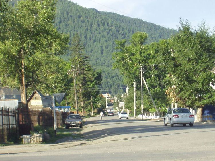
Onguday (Russian: Онгудай; Altai: Оҥдой) is a rural locality (a selo) and the administrative center of Ongudaysky District in the Altai Republic, Russia, located on the Ursul River, 210 kilometers (130 mi) from Gorno-Altaysk, the capital of the republic. As of the 2010 Census, its population was 5,655, consisting mainly of the Altai people and Russians.
Contents
Map of Onguday, Altai Republic, Russia, 649440
History
It was founded in 1626.
Climate
Onguday has a monsoon-influenced humid continental climate (Köppen climate classification Dwb) with warm, humid summers and severely cold, dry winters. The warmest month of the year is July, when the average temperature is +16.9 °C (62.4 °F), the highest temperature recorded being +39.7 °C (103.5 °F). The coldest month of the year is January, when the average temperature is −19.5 °C (−3.1 °F), with the record low of −43.9 °C (−47.0 °F).