
- average 2,997 cu ft/s (85 m/s) | Length 29 km | |
 | ||
Oneida river home for sale 519 county route 12 pennellville ny 13132
The Oneida River is a river that forms a portion of the boundary between Oswego and Onondaga counties in central New York. The river flows 18 miles (29 km) from Oneida Lake's outlet to its confluence with the Seneca River, where the two rivers combine to form the Oswego River that empties into Lake Ontario.
Contents
- Oneida river home for sale 519 county route 12 pennellville ny 13132
- Map of Oneida river New York USA
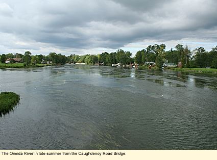
- Oneida river 4 29 2016
- References
Map of Oneida river, New York, USA
The river was known to the Onondaga people as Sah-eh, and was referred to during the colonial era as the Onondaga River.
The river is utilized for boating and shipping as part of the New York State Barge Canal.
Oneida river 4 29 2016
References
Oneida River Wikipedia(Text) CC BY-SA