
Primary outflows Oneida River Max. length 21 mi (34 km) Area 206.7 km² Surface elevation 112 m | Basin countries United States Max. width 5 mi (8.0 km) Length 33 km Width 8.7 km | |
 | ||
Location Oneida / Oswego counties, New York, United States Primary inflows Fish Northern pike, Largemouth bass, Walleye, Bluegill Islands Dunham's Island, Wantry Island, Frenchman's Island, Long Island, Big Isle, Little Island | ||
Oneida lake aba bass tournament co angler 3rd place
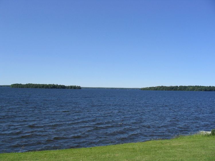
Oneida Lake is the largest lake entirely within New York State, with a surface area of 79.8 square miles (207 km2). The lake is located northeast of Syracuse and near the Great Lakes. It feeds the Oneida River, a tributary of the Oswego River, which flows into Lake Ontario. From the earliest times until the opening of the Erie Canal in 1825, the lake was part of an important waterway connecting the Atlantic seaboard of North America to the continental interior.
Contents
- Oneida lake aba bass tournament co angler 3rd place
- Map of Oneida Lake New York USA
- Oneida lake ny icefishing
- NameEdit
- History of navigationEdit
- GeologyEdit
- CountiesEdit
- Towns and villagesEdit
- State parksEdit
- NamesakesEdit
- References
Map of Oneida Lake, New York, USA
The lake is about 21 miles (34 km) long and about 5 miles (8.0 km) wide with an average depth of 22 feet (6.7 m). The shoreline is about 55 miles (89 km). Portions of six counties and sixty-nine communities are in the watershed. Oneida Creek, which flows past the cities of Oneida and Sherrill, empties into the southeast part of the lake at South Bay. While not included as one of the Finger Lakes, Oneida is sometimes referred to as their "thumb". Because it is shallow, it is warmer than the deeper Finger Lakes in summer, and its surface freezes solidly in winter. It is relatively safe and popular for the winter sports of ice fishing and snowmobiling.
Oneida lake ny icefishing
NameEdit
The lake is named for the Oneida, the Iroquoian Native American tribe that historically occupied a large region around the lake, one of the Six Nations of the Iroquois. The Oneida called the lake Tsioqui in their language, meaning "White Water".
History of navigationEdit
During the 18th and early 19th centuries Oneida Lake and its tributary Wood Creek were part of the Albany-Oswego waterway from the Atlantic seaboard westward via the Hudson River and through the Appalachian Mountains via the Mohawk River; travel westward then was by portage over the Oneida Carry to the Wood Creek-Oneida Lake system. The navigable waterway exited Oneida Lake by the Oneida River, which led to the Oswego River and Lake Ontario, from where travelers could reach the other Great Lakes.
Following the American Revolutionary War, the United States forced the Iroquois nations to cede most of their lands in that region, as most of them had allied with the British, who were defeated. In addition, demand from settlers created pressure for such cessions. White settlers improved the natural waterway by constructing a canal with locks within Wood Creek to Oneida Lake. This system was significantly improved—from 1792 to 1803—by cutting a canal across the Oneida Carry, after which commercial shipping across Oneida Lake increased substantially. Even more significant was the completion in 1825 of the Erie Canal, which bypassed the Oneida Lake system and enhanced travel through the entire Mohawk Valley. This caused the population around the lake to lose their navigable waterway eastward.
In 1835 Oneida Lake was connected to the Erie Canal system by construction of the (old) Oneida Canal, which ran about 4.5 miles (7.2 km) from Higginsville on the Erie Canal northward to Wood Creek, about 2 miles (3.2 km) upstream of Oneida Lake. Built poorly with wooden locks, the Oneida Canal was closed in 1863.
When the Erie Canal was redesigned and reconstructed to form the New York State Barge Canal in the early 20th century, the engineers made use of natural rivers and lakes where possible. The new barges were powered internally (by diesel or steam engines), so they could travel open water and against a current; the system no longer needed infrastructure for drawing vessels externally — i.e., drawpaths and draft animals. After it straightened Fish Creek on the east, the new canalway entered Oneida Lake at Sylvan Beach and exited west with the Oneida River at Brewerton. New terminal walls at Sylvan Beach, Cleveland, and Brewerton allowed barges to load and unload cargo and to stay overnight. A new break wall was installed, preventing lake waves from entering the canal and protecting against shoaling. These improvements provided towns along the shoreline of Oneida Lake with access again to navigable waterways east and west.
GeologyEdit
Oneida Lake is a remnant of Glacial Lake Iroquois, a large prehistoric lake formed when glaciers blocked (from downstream) the flow of the St. Lawrence River, the outlet of the Great Lakes to the Atlantic Ocean.
CountiesEdit
Towns and villagesEdit
State parksEdit
NamesakesEdit
Oneida Lake is the namesake of Oneida Lacus a hydrocarbon lake on the Saturnian moon Titan. That "lake" is composed of liquid methane and ethane, and is located at 76.14°N and 131.83°W on Titan's globe.