
Website www.co.oneida.wi.gov Founded 1885 | Area 3,201 km² Population 35,689 (2013) | |
 | ||
University Nicolet Area Technical College Points of interest Elmers Fun Park, Torpy Park, Three Lakes Winery, Holiday Acres Recreatio, Rhinelander Logging Museum Destinations | ||
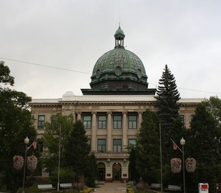
Oneida County is a county in the state of Wisconsin, United States. At the 2010 census, the population was 35,998. Its county seat is Rhinelander.
Contents
- Map of Oneida County WI USA
- History
- Geography
- Adjacent counties
- Major highways
- Airport
- National protected area
- Demographics
- City
- Census designated places
- Ghost towns
- References
Map of Oneida County, WI, USA
History
Oneida County was formed in 1887 from sections of Lincoln County. It was named after the indigenous Oneida tribe, one of the five nations of the Iroquois.
Geography
According to the U.S. Census Bureau, the county has a total area of 1,236 square miles (3,200 km2), of which 1,113 square miles (2,880 km2) is land and 123 square miles (320 km2) (10%) is water. Most people visit Oneida County to enjoy its lakes. In particular, tourists flock to Minocqua, a town of nearly 5,000 people with a summer population around 15,000.
Adjacent counties
Major highways
Airport
The Rhinelander-Oneida County Airport (KRHI) serves the county and surrounding communities with both scheduled commercial jet service and general aviation services. Located two miles southwest of Rhinelander, the airport handles approximately 24,860 operations per year, with approximately 88% general aviation, 6% scheduled commercial air service and 6% air taxi. The airport has a 6,799-ft. concrete runway with approved ILS, GPS and VOR/DME approaches (Runway 9-27) and a 5,201-ft. asphalt crosswind runway with approved GPS approaches (Runway 15-33). In addition, the Rhinelander VORTAC (RHI) navigational facility is located at the field.
National protected area
Demographics
At the census of 2000, there were 36,776 people, 15,333 households, and 10,487 families residing in the county. The population density was 33 people per square mile (13/km²). There were 26,627 housing units at an average density of 24 per square mile (9/km²). The racial makeup of the county was 97.71% White, 0.33% Black or African American, 0.66% Native American, 0.30% Asian, 0.05% Pacific Islander, 0.21% from other races, and 0.75% from two or more races. 0.66% of the population were Hispanic or Latino of any race. 44.4% were of German, 8.8% Polish, 7.9% Irish, 5.2% Norwegian and 5.2% English ancestry according to Census 2000.
There were 15,333 households out of which 27.00% had children under the age of 18 living with them, 57.80% were married couples living together, 7.10% had a female householder with no husband present, and 31.60% were non-families. 26.40% of all households were made up of individuals and 12.00% had someone living alone who was 65 years of age or older. The average household size was 2.34 and the average family size was 2.82.
In the county, the population was spread out with 22.30% under the age of 18, 5.70% from 18 to 24, 26.50% from 25 to 44, 26.80% from 45 to 64, and 18.70% who were 65 years of age or older. The median age was 42 years. For every 100 females there were 99.20 males. For every 100 females age 18 and over, there were 97.30 males.