
Coastline 89.8 km (55.8 mi) Population 87,078 (2010) Max length 20 km | Width 15 km (9.3 mi) Area 194.1 km² | |
 | ||
Municipalities MabuhayOlutangaTalusan | ||
Seasnake sanctuary of olutanga island
Olutanga is a Philippine island in the Moro Gulf, part of Zamboanga Sibugay Province. It is separated from the Zamboanga Peninsula by a narrow channel and Tantanang Bay.
Contents
- Seasnake sanctuary of olutanga island
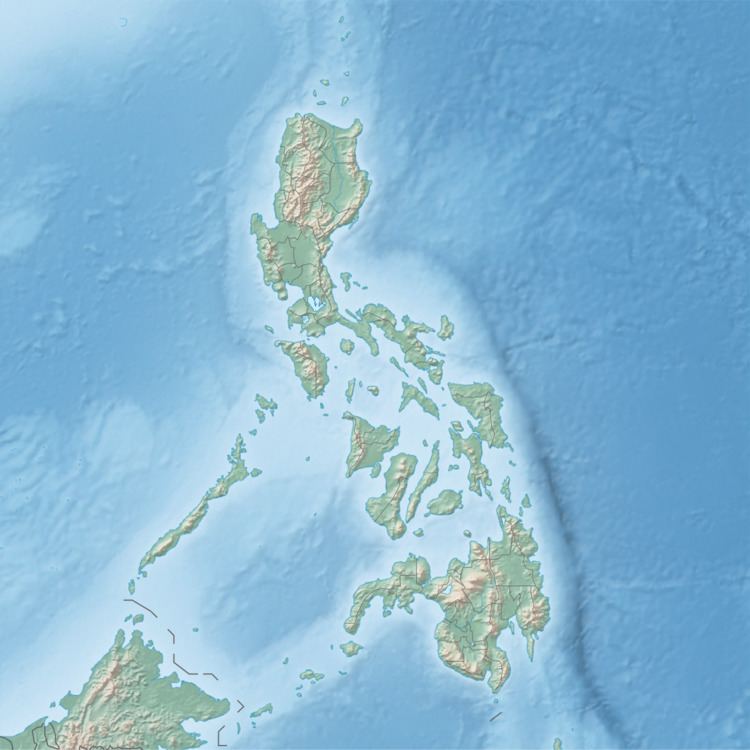
- Map of Olutanga Island Olutanga Zamboanga Sibugay Philippines
- Freestyler olutanga grand champ got talent mabuhay may 25 2012
- References
Map of Olutanga Island, Olutanga, Zamboanga Sibugay, Philippines
Olutanga, with an area of 194.1 square kilometres (74.9 sq mi), is the largest island in the Moro Gulf and the 34th largest island of the Philippines. It has a shoreline length of 89.8 kilometres (55.8 mi).
The island is subdivided into 3 municipalities (Mabuhay, Talusan, and the namesake Olutanga), and has a total population of 87,078 people.
Freestyler olutanga grand champ got talent mabuhay may 25 2012
References
Olutanga Wikipedia(Text) CC BY-SA