
LLG Olsobip Rural Mean max temp 29 °C (84 °F) Local time Friday 4:52 PM | District North Fly Time zone AEST (UTC+10) Mean min temp 20 °C (68 °F) | |
 | ||
Weather 26°C, Wind NW at 5 km/h, 92% Humidity | ||
Olsobip is a station town in the north of the Papua New Guinean Western province, located on the Upper Fly River. It is the seat of the Olsobip Rural LLG. It has a rural airport (OLQ) but, set in a rich forest, it is inaccessible by road. As a result of its isolation, accurate census data is difficult to obtain from Olsobip.
Contents
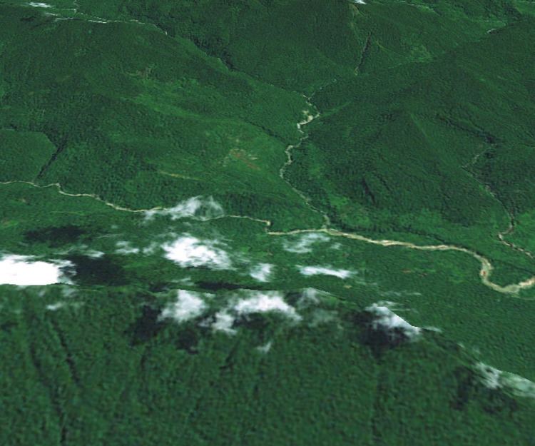
Map of Olsobip, Papua New Guinea
History
Baptist missionaries were active in Olsobip, establishing the Olsobip Patrol Post. The people of Olsobip belong to the Mountain-Ok culture area which is located in the Western range of Papua New Guinea. This cultural group are noted for their crafts, particularly handdrums which they trade.
Geography and climate
Olsobip is one of the northernmost stations in the province. It lies along the Upper Fly River in an isolated mountainous areas known as the Star Mountains. Although no official scientific weather station has ever been established in the area it is known to be extremely wet and has been claimed to be one of the wettest places on earth with a rainfall in excess of 10m a year. The villagers are known to have patches of land for growing vegetables.
Transport
Olosbip is a highly inaccessible settlement. Although located along the Upper Fly River, it is not easily accessible by river and is not connected by road. The small airstrip, Olsobip Airport, was built in 1964/5 by local labourers.