
Demonym(s) Oldenzaler, Boeskool Postcode 7570–7579 Area 21.98 km² Area code 0541 | Elevation 48 m (157 ft) Time zone CET (UTC+1) Website www.oldenzaal.nl Local time Thursday 11:58 PM | |
 | ||
Weather 6°C, Wind NE at 16 km/h, 80% Humidity | ||
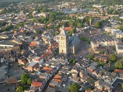
Oldenzaal ( [ˈɔldə(n)ˌzaːl]) is a municipality and a city in the eastern province of Overijssel in the Netherlands. It is part of the region of Twente and is close to the German border.
Contents
Map of Oldenzaal, Netherlands
It received city rights in 1249. Historically, the city was part of the Hanseatic League as a subsidiary city of the fellow Hanseatic city of Deventer.
Located on the A1 motorway from Amsterdam to Germany, Oldenzaal also has a rail connection to Hengelo.
Transportation
The town is served by the Oldenzaal railway station.
Notable residents
References
Oldenzaal Wikipedia(Text) CC BY-SA