
Country United States Time zone CST (UTC-6) Area 113 km² Population 867 (2010) | Settlement November 6, 1888 Elevation 173 m Local time Thursday 3:27 PM | |
 | ||
ZIP codes 62074, 62086, 62246, 62275 Weather 8°C, Wind SE at 19 km/h, 82% Humidity | ||
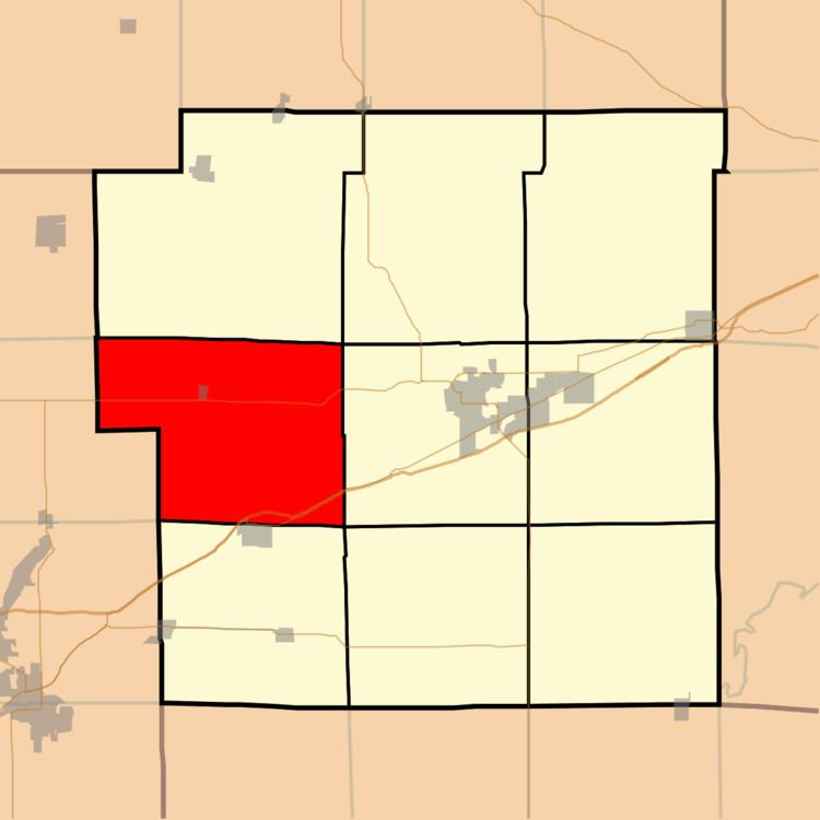
Old Ripley Township is one of nine townships in Bond County, Illinois, USA. As of the 2010 census, its population was 867 and it contained 378 housing units.
Contents
- Map of Old Ripley Township IL USA
- Geography
- Cities
- Cemeteries
- Major highways
- Airports and landing strips
- School districts
- Political districts
- References
Map of Old Ripley Township, IL, USA
Geography
According to the 2010 census, the township has a total area of 43.64 square miles (113.0 km2), of which 43.63 square miles (113.0 km2) (or 99.98%) is land and 0.02 square miles (0.052 km2) (or 0.05%) is water.
Cities
Cemeteries
The township contains these seven cemeteries: Brown, File, Mitchell, Mount Nebo Old, New Mount Nebo, Robinson and Sugg Number 1.
Major highways
Airports and landing strips
School districts
Political districts
References
Old Ripley Township, Bond County, Illinois Wikipedia(Text) CC BY-SA