
Country Macedonia Time zone CET (UTC+1) car plates OH | Area code(s) 046 | |
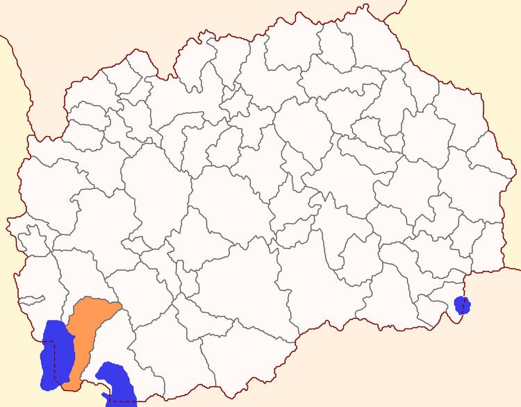 | ||
The Municipality of Ohrid (Macedonian: Општина Охрид) is a municipality in the southwestern part of the Republic of Macedonia. Ohrid is also the name of the city where the municipal seat is found. Ohrid Municipality is in the Southwestern Statistical Region
Contents
Map of Ohrid, Macedonia (FYROM)
Geography
Ohrid Municipality borders Debarca Municipality to the west and north, Resen Municipality to the east, and Demir Hisar Municipality to the northeast.
Demographics
According to the national census of 2002, the municipality of Ohrid, before the attachment of Kosel Municipality, had 54,380 inhabitants; according to the census of 1994, it had 52,732. The former Kosel Municipality had a population of 1,369 in 2002 and 1,759 in 1994. The present-day combined municipality has 55,749 residents. Ethnic groups in the municipality include:
Inhabited places
The municipality has 29 inhabited places, one town and 28 villages.