Suvarna Garge (Editor)

Ohiya

Updated on
Edit
Like
Comment
Share on FacebookTweet on TwitterShare on LinkedInShare on Reddit
Country
  
Province
  
Uva Province

Local time
  
Thursday 12:35 PM

Ohiya wwwsrilankanexpeditionscomlocationimg14559404

Time zone
  
Sri Lanka Standard Time Zone (UTC+5:30)

Weather
  
20°C, Wind N at 10 km/h, 44% Humidity

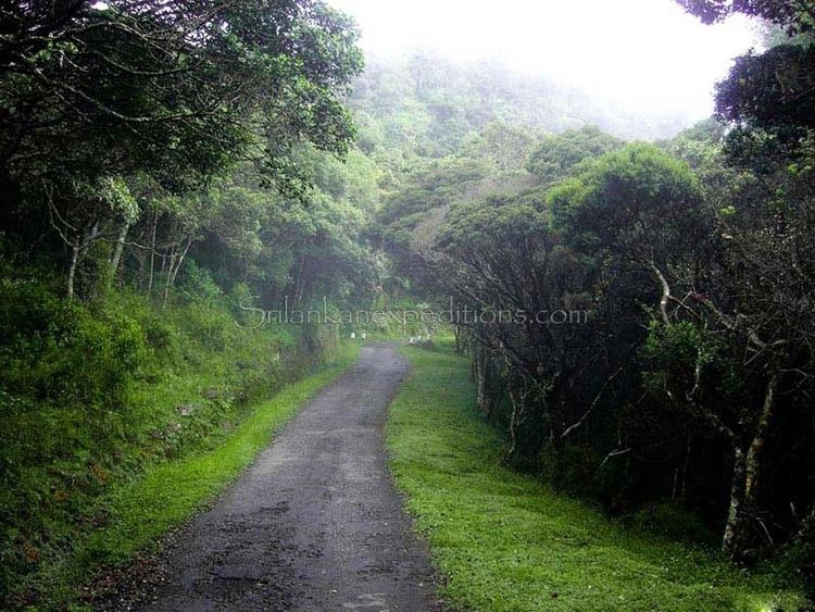
Ohiya (ඔහිය) is a rural village located in Badulla District of Uva Province, Sri Lanka. It is much closer to the Horton Plains National Park. The picturesque Colombo -Badulla Railyway runs through Ohiya. Ohiya is in the Welimada Divisional Secretariat Division and the Grama Niladhari Division number is 62A.

Contents

Map of Ohiya, Sri Lanka

Ohiya is one of the most scenic places in Sri Lanka. On a clear day the view from the Ohiya Gap/Dondra Watch extends up to the southern coast of Sri Lanka.

Sri lanka ceylon ohiya train station


Population

(Source Welimada Divisional Secretariat 2008-statistics)

Transport

  • Ohiya Railway Station is the 67th station on the Main line (which runs between Colombo and Badulla) It is the third highest railway station of Sri Lanka, situated 1,774 m (5,820 ft) above sea level and opened in 1893.
  • B508 – Welimada – Ohiya (Bus route via Boralanda)
  • Attractions

  • Horton Plains National Park - located 8 km (5.0 mi) away from Ohiya
  • Ohiya Gap/Dondra Watch, from this vantage point, which looks out over the Haputale valley, the Dondra Head Lighthouse (101 km (63 mi)) is occasionally visible.
  • Ohiya Forest
  • The Devil's Staircase, a road which drops down 1,100 m (3,600 ft) in less than 12 kilometres (7.5 mi) is located beyond Udaweria Estate about 8 km away from the station
  • Bamabarakanda Falls, the highest waterfall (263 m (863 ft)) in the country, is located 22 km (14 mi) away from Ohiya
  • Rahangala Mountain – located 8 km (5.0 mi) away from Ohiya
  • Postal services

  • Ohiya Sub Post Office (Postal Code 90168)
  • Schools

  • B/Ohiya Siddharatha Vidyalaya
  • References

    Ohiya Wikipedia