
Existed: 1937 – present Length 8.9 km | Constructed 1937 | |
 | ||
Counties | ||
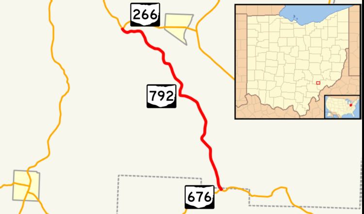
State Route 792 (SR 792) is a north–south state highway located in southeastern Ohio. The southern terminus of SR 792 is at a T-intersection with SR 676 approximately seven miles (11 km) east of Chesterhill. Its northern terminus is at SR 266 nearly one and a half miles (2.4 km) west of Stockport.
Contents
Map of OH-792, Stockport, OH 43787, USA
Route description
SR 792 runs through an extremely small portion of northwestern Washington County and part of the southern end of Morgan County. The state highway is not included in the National Highway System.
History
First established in 1937 along the path that is currently occupies between SR 676 and SR 266, SR 792 has not experienced any significant changes to its routing since its inception.
References
Ohio State Route 792 Wikipedia(Text) CC BY-SA