
Existed: 1924 – present Constructed 1924 | Length 190.9 km | |
 | ||
Counties | ||
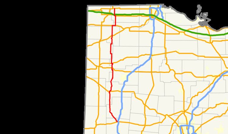
State Route 66 (SR 66) is a north–south state highway in the northwestern portion of the U.S. state of Ohio. Its southern terminus is at US 36 in Piqua, and its northern terminus is at US 20 in Fayette. South of Defiance it generally follows the route of the former Miami and Erie Canal.
Contents
Map of OH-66, Ohio, USA
Route description
The portion of SR 66 between Washington Avenue in Piqua and the Miami/Shelby County line is designated as the "Cpl. Samuel F. Pearson Memorial Highway", in honor of a Piqua High School graduate who was killed at Camp Victory in Baghdad, Iraq, while serving in the Army Reserve, on October 10, 2007.
History
References
Ohio State Route 66 Wikipedia(Text) CC BY-SA