
Existed: 1955 – present Constructed 1955 | Length 14.93 km | |
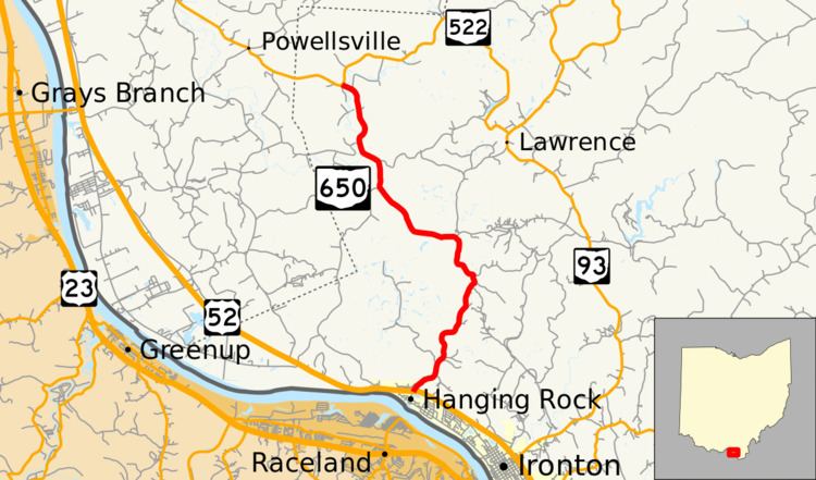 | ||
North end: SR 522 near Wheelersburg | ||
State Route 650 (SR 650) is a north–south state highway in the southern portion of Ohio. Its southern terminus is at U.S. Route 52 in Hanging Rock. From this point, the route heads northward to the community of Pine Grove in Wayne National Forest. Its northern terminus is at State Route 522 approximately 9 miles (14 km) southeast of Wheelersburg.
Contents
Map of OH-650, Ohio, USA
History
State Route 650 made its first appearance in 1955 along the routing that it currently occupies between U.S. Route 52 and State Route 522. The highway has not seen any significant changes to its routing since its designation.
Major intersections
The entire route is in Lawrence County.
References
Ohio State Route 650 Wikipedia(Text) CC BY-SA