
Existed: 1932 – present Length 72.95 km | Constructed 1932 | |
 | ||
Counties | ||
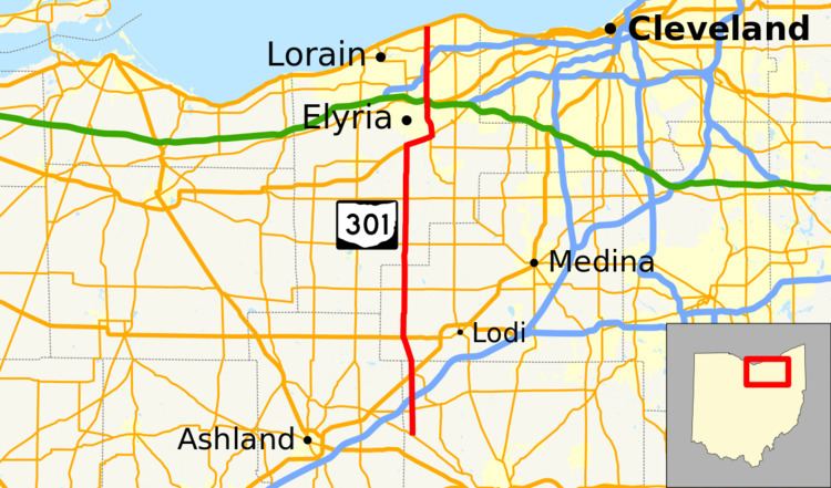
State Route 301 (SR 301) is a 45.33-mile (72.95 km) long north–south state highway in the northern portion of the U.S. state of Ohio. The western terminus of SR 301 is at SR 302 in Chester Township nearly 5.50 miles (8.85 km) south of West Salem. Its northern terminus is at U.S. Route 6 (US 6) in Sheffield Lake.
Contents
Map of OH-301, Ohio, USA
Route description
SR 301 travels through northwestern Wayne County, western Medina County and central Lorain County. No segment of this route is included as a part of the National Highway System (NHS). The NHS is a network of highways defined as being most important for the economy, mobility and defense of the nation.
History
The SR 301 designation was applied in 1932. Originally, the highway was routed along a short portion of its present alignment, running from US 42 in West Salem, to its junction with US 224, then known as SR 17.
In 1937, SR 301 took on much of its current form when it was extended on the south end to SR 302 approximately 5.50 miles (8.85 km) south of West Salem, and on the north end through western Medina County and central Lorain County to US 6 (at the time also joined by SR 2 in Sheffield Lake.