
Country Canada Census division 10 Settled September 1906 Elevation 770 m Population 120 (2011) Area code 780 | Dissolved January 1, 1946 Area 24 ha Province Alberta | |
 | ||
Ismet ohaton
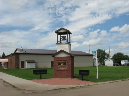
Ohaton is a hamlet in central Alberta, Canada within Camrose County. Previously an incorporated municipality, Ohaton dissolved from village status on January 1, 1946.
Contents
Map of Ohaton, AB, Canada
Ohaton is located approximately 15 kilometres (9.3 mi) east of the City of Camrose. The Ohaton post office was opened in 1906 with the name "Ohaton" being a portmanteau of the partners Osler, Hammond and Nanton of a notable Winnipeg financial firm. Another town, Nanton, Alberta is also named for Augustus Meredith Nanton of the same firm.
Ohaton and area's topography is rounded hills with a small river valley running through its southern portion. The surrounding area is mostly farmed with grain and canola or ranched with predominantly cattle.
Energofish magazin ism t ohaton
Geography
Nearby communities include:
Demographics
As a designated place in the 2016 Census of Population conducted by Statistics Canada, Ohaton recorded a population of 110 living in 50 of its 55 total private dwellings, a change of 2999169999999999999♠−8.3% from its 2011 population of 120. With a land area of 0.24 km2 (0.093 sq mi), it had a population density of 458.3/km2 (1,187.1/sq mi) in 2016.
As a designated place in the 2011 Census, Ohaton had a population of 120 living in 46 of its 48 total dwellings, a -4% change from its 2006 population of 125. With a land area of 0.24 km2 (0.093 sq mi), it had a population density of 500/km2 (1,290/sq mi) in 2011.
The population of Ohaton according to Camrose County's 2008 municipal census is 135.