
Main source Fichtelgebirge Basin size 6,255 km (2,415 sq mi) Discharge 38 m³/s | Length 316 km Basin area 6,255 km² | |
 | ||
Country Czech Republic, Germany | ||
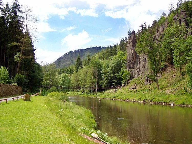
The Ohře ( [ˈoɦr̝ɛ]; German: Eger, Czech also: Oharka or Ohara, Celtic: Agara, Polish: Ohrza) is a 316 km long river in Germany (65 km) and the Czech Republic (251 km), left tributary of the Elbe. The catchment area of the river is 6,255 km2, of which 5,614 km2 is in the Czech Republic and 641 km2 in Germany. It is the third biggest river in the Czech Republic.
Contents
Map of Oh%C5%99e
Several districts in Germany and the Czech Republic have formed an Euroregion initiative named Euregio Egrensis to foster cooperation in the region of Eger/Ohře/Cheb.
Etymology
There is a Czech pun that the Ohře got its name from the river Teplá (meaning "warm" in Czech) - "ohřát" means "to warm up". However the real origin, which also shows in the German name, is Celtic, from Agara (the "Salmon River"). The records show the name as Agara, Agira, Agra in the 9th century, Egire, Egra or Ogra in the 11th century and Eger in 1472. Another theory states that since in Macedonia there exists a Lake Ohrid, the Slavic people who settled in the Balkans, particularly Macedonia around Lake Ohrid, originated from the area of the river Ohře and thus named the lake in south Macedonia "Ohrid".
Flow
The highest volume flow rate occurs in spring. The average volume flow rate at the mouth is 37.94 m³/s. The lower part of the river flows through areas with the lowest average precipitation in the Czech Republic (less than 500 mm).
Use
The Ohře is primarily used for irrigation and hydroelectric energy. There are two dams: Skalka (built in 1962–1964, area 378 ha) and Nechranice (built 1961–1968, area 1338 ha). The river flows through the following important towns: Cheb, Sokolov, Loket, Karlovy Vary, Ostrov nad Ohří, Klášterec nad Ohří, Kadaň, Žatec, Louny, Libochovice, Budyně nad Ohří, Terezín and Litoměřice.