
LGA Oguta LGA Postcode 464... Local time Thursday 4:13 AM | Time zone WAT (UTC+1) Goddess Uhamiri Population 22,000 (2006) | |
 | ||
Weather 26°C, Wind S at 5 km/h, 92% Humidity | ||
Oguta lake ferry dr albans nigeria hometown
Oguta is a town on the east bank of Oguta Lake in Imo State of southeastern Nigeria. It is made up of 27 villages. The Oguta people refer to themselves as Umu-Ameshi. It is the administrative seat for Oguta LGA. Oguta was one of the first territories used by the British to advance into the Igbo hinterland. As of 2012 Oguta's population was estimated at 20,096. The city of Oguta is divided into two townships, Oguta 1 and Oguta 2, separated by its popular lake with the Local Government HQ located at OGUTA 1. Njaba River and Orashi River are major tributaries of the lake.
Contents
- Oguta lake ferry dr albans nigeria hometown
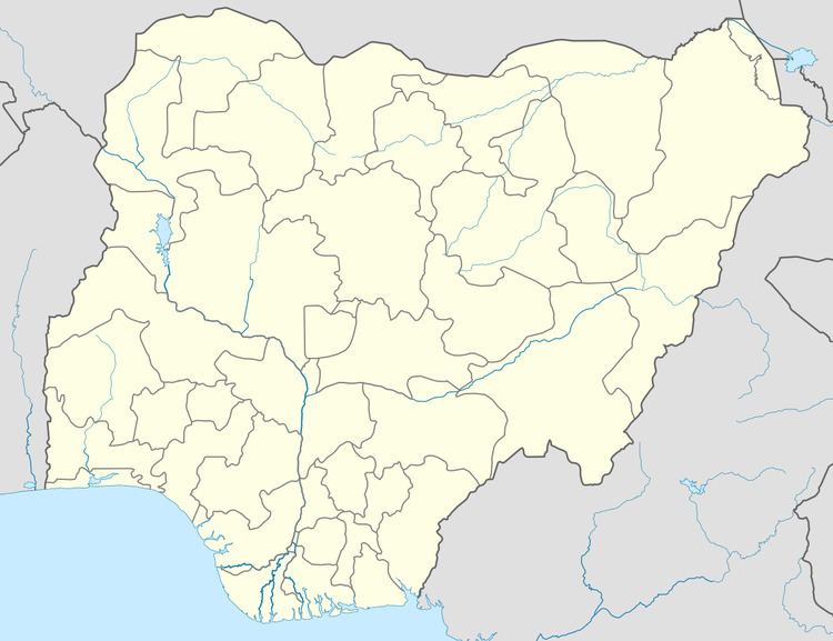
- Map of Oguta Nigeria
- News across nigeria fire destroys farmland in oguta 08 02 16 pt 3
- Economy
- References
Map of Oguta, Nigeria
News across nigeria fire destroys farmland in oguta 08 02 16 pt 3
Economy
Today, Oguta is better known for its resort hotel, challenging Scottish-designed golf course,Oguta has attracted a lot of visitors because of its popular lake. It is also a home of commercial fishing. It has a huge oil and gas deposit known as the "Golden Belt". Oguta is also known for its rich cultural diversity.Our traditional attires tells a lot of our rich culture. Fish, yam and cassava are just some of the staples in an average Oguta person's diet. Neighbouring towns include Ezi-Orsu, Izombe, Akri, Mgbidi, Awo-Omamma, Mgbele, Nkwesi, Nnebukwu, Orsu-Obodo, Egwe, and Egbuoma, border town with Anambra State. Oguta 2 is home to Donguarella, an Italian Catholic outreach project for handicapped children.