
Address Harrison, NE 69346, USA | Phone +1 308-432-0300 | |
 | ||
Area 94,520 acres (382.5 km) Website Oglala National Grassland Similar Nebraska National Forest, Toadstool Geological Park and, Soldier Creek Wilderness, Hudson ‑ Meng Bison Bo | ||
Toadstool geologic park oglala national grassland nebraska
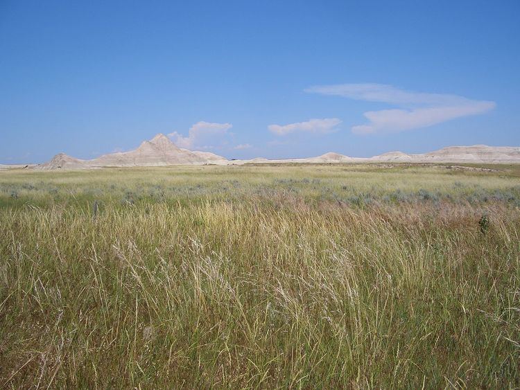
The Oglala National Grassland is a United States National Grassland in the northwest corner of Nebraska. It is in northern Sioux and northwestern Dawes counties, on the borders with South Dakota and Wyoming. It is 94,520 acres (38,250 ha) in size and is one of the small handful of National Grasslands administered by the US Department of Agriculture's Forest Service. It is managed by the U.S. Forest Service together with the Nebraska and Samuel R. McKelvie National Forests and the Buffalo Gap and Fort Pierre National Grasslands from common offices in Chadron, Nebraska.
Contents
Oglala national grassland
Attractions
Oglala National Grassland is home to some of the most striking badlands formations in Toadstool Geologic Park, near Crawford, Nebraska and Whitney, Nebraska.
The Hudson-Meng Bison Kill, also located on the grassland, is an archaeological excavation in progress.
The Warbonnet Battlefield Monument, commemorating the 1876 Battle of Warbonnet Creek, is located on Oglala National Grassland on Montrose Road.
The grassland also contains the Agate, Bordgate, and Rock Bass reservoirs.