
Website www.city.ogi.lg.jp Population 45,387 (1 Jan 2009) | Area 95.85 km² Local time Thursday 11:10 AM | |
 | ||
Time zone Japan Standard Time (UTC+9) Weather 10°C, Wind E at 14 km/h, 61% Humidity Points of interest Ogi Park, Kiyomizuno Falls, Muraokasohonpoyokan Museum, Mt Tenzan, Kiyomizukannon | ||
Ogi (小城市, Ogi-shi) is a city located in the central part of Saga Prefecture on the island of Kyushu, Japan.
Contents
- Map of Ogi Saga Prefecture Japan
- Geography
- Adjoining municipalities
- History
- Prefectural Senior High schools
- Municipal Junior High schools
- Municipal Elementary schools
- Air
- Rail
- Road
- References
Map of Ogi, Saga Prefecture, Japan
As of February 1, 2010, the city has an estimated population of 45,387 and a population density of 475 persons per km². The total area is 95.85 km².
The modern city of Ogi was established on March 3, 2005, from the merger of the former town of Ogi, absorbing the towns of Ashikari, Mikatsuki and Ushizu (all from Ogi District). Ogi District was dissolved as a result of this merger.
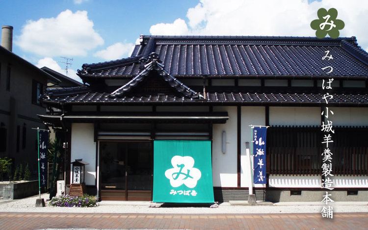
It has gradually come to be known as the city with the highest consumption of yōkan in Japan.
Geography
Located in the central part of Saga Prefecture, Ogi borders the city of Saga. The heart of old Ushizu where the current City Hall is located is approximately 10 km due west of central Saga. The northern part of the city is a mountainous region that builds up to the mountain Tenzan, while the rest of the city consists of the low lying Saga Plains. The southern part of the city borders the Ariake Sea.
Adjoining municipalities
History
Prefectural Senior High schools
Municipal Junior High schools
Municipal Elementary schools
Air
The closest airport is Saga Airport.
Rail
The primary rail station is Ushizu Station.