
Population 7,335 (2011) Sovereign state United Kingdom Local time Wednesday 11:22 AM District Erewash | OS grid reference SK424360 Dialling code 01332 | |
 | ||
Weather 7°C, Wind SE at 23 km/h, 81% Humidity | ||
Ockbrook school friends autodance 1
Ockbrook is an ancient village in Derbyshire, England. It is almost contiguous with the village of Borrowash, the two only separated by the A52. The appropriate civil parish parish is Ockbrook and Borrowash. The population of this civil parish at the 2011 Census was 7,335. Ockbrook lies about 5 miles (8.0 km) east of Derby.
Contents
- Ockbrook school friends autodance 1
- Map of Ockbrook Derby UK
- Ockbrook borrowash v sandiacre town 23rd july 2016
- History
- Area and population growth
- Schools
- Churches
- Pubs
- Amenities
- Streets gitties and footpaths
- Historic maps in chronological order
- References
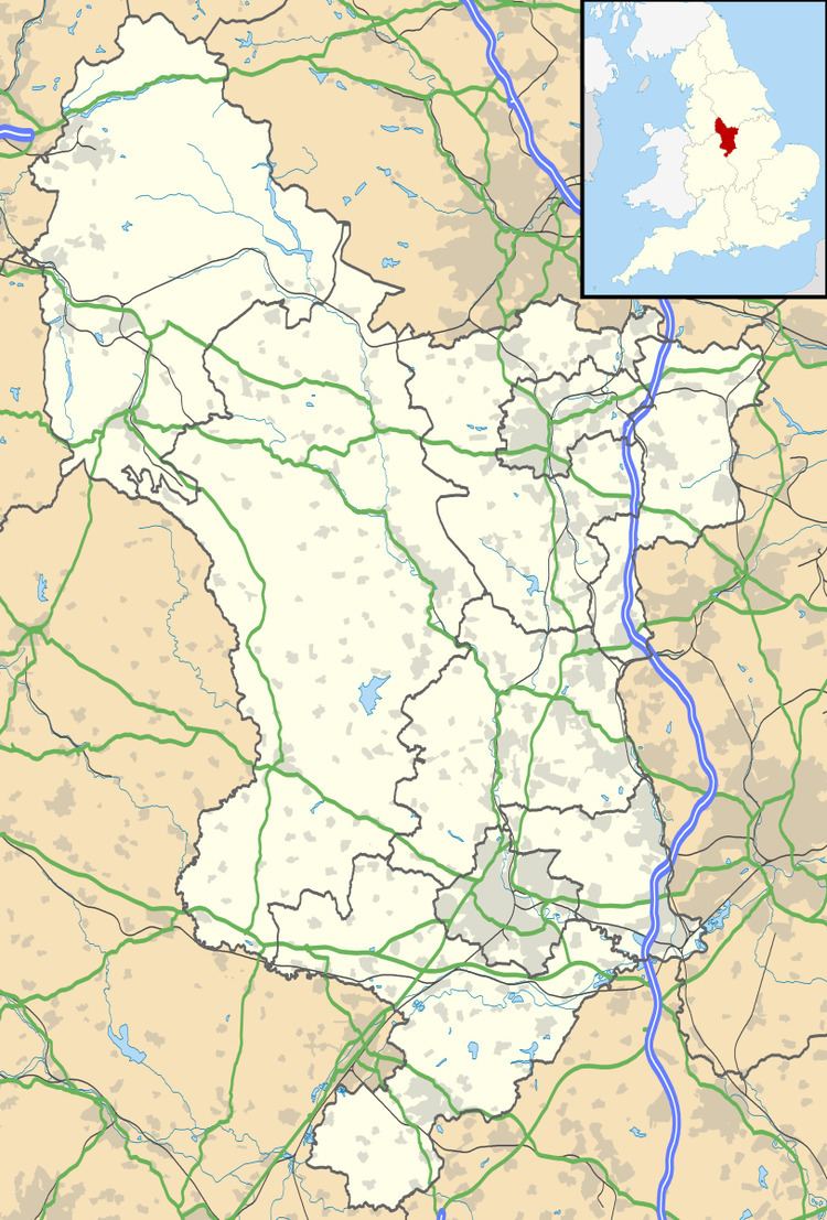
Map of Ockbrook, Derby, UK
Ockbrook borrowash v sandiacre town 23rd july 2016
History
There is evidence of human activity in Ockbrook as far back as 10000 BC (the Mesolithic) in the form of two bifacial cores of flint. A small greenstone axe head attests to Neolithic activity. There is no direct evidence from the Bronze Age [4].
From the Iron Age there is a variety of evidence obtained during the excavation of a Romano-British aisled building at Littlehay Grange Farm between 1994 and 1997. This includes sherds of Ancaster Breedon scored ware and Aylesford-Swarling Pottery, a Group A one-piece brooch, an Iron Age coin of silver dating to between 40 BC and 10 AD, and an Iron Age ring headed pin or spike [4].
Evidence of occupation during the Roman period includes the sites of three farmsteads, one of which has been excavated. From these it appears that the fortunes of the area at that time mirrored those of nearby Derventio (Roman Derby), with a boom starting during the 2nd century AD followed by abandonment at the end of the 4th century [4].
During the early Dark Ages, Ockbrook was part of the Kingdom of Mercia. According to the Anglo-Saxon Chronicle, this was founded in 560 by Creoda, one of whose followers may have had the personal name Occa [4].
It was this Occa (an Anglo Saxon) who established Ockbrook in the 6th century on the banks of a small stream, the Ock [4].
During the ninth century, the Danes invaded and swept through large swathes of England until fought to a standstill by Alfred the Great. The country was partitioned as a consequence c874 and Ockbrook, being east of Watling Street (the present day A5) would have been in the Danelaw. This period is attested to by two place names, The Ridings and Carrhill, which derive from Danish. Despite frequent skirmishes between Danes and the English hereabouts, the Danelaw survived until 1066 when, according to the Domesday Book, the manor was held by Toki (probably a Dane) [4]. The entry reads:
"...In Ockbrook Tochi had four carucates of land (assessed) to the geld, land for four ploughs. There are now ten villeins and two Bordars having three ploughs and four rent paying tenants rendering 14 shillings. There are five acres of meadow, woodland for pannage one league in length and half a league wide. In King Edward’s day worth £4 now 40 shillings belonging to the Bishop of Chester..." [4].
By 1086 the manor had been transferred either to the extensive holdings of Geoffrey Alselin or to the Bishop of Chester (according to Domesday), both of whom were Norman. c1130 it was divided between two sons of Sir Ralph Halselin whence half descended to the Bardolfs of Wormegay (who sold it to the Foljambe's c1420) and half to Serlo de Grendon who granted it to Dale Abbey. At the Reformation, these shares were largely broken up amongst the freeholders, notably the Battelles, Harpurs, Keyes (of Hopwell) and Wilmots (of Chaddesden) [1].
In 1750 the Moravian Church established a settlement here, one of only three remaining in the country. This was on the edge of the old village and separate from it. The buildings are Georgian red brick and two of them, the Manse (1822) and the Chapel (1751–1752) are grade II listed [5].
From the early 19th century, middle-class families from Derby and Long Eaton took advantage of the fragmented landowning pattern to acquire land and build elegant villas [1]. Also during this period, work diversified to include four silk glove makers, four shoemakers, and a straw bonnet maker [2].
Borrowood Golf Club, Ockbrook, (now defunct) was founded in 1902 and continued until WW2.
In more recent times, extensive new housing developments have turned Ockbrook into a commuter dormitory for Derby.
Area and population growth
The area of the village is 1,730 acres (700 ha)[1].
The population growth figures include Borrowash and are taken from [1] and [6].
Schools
Churches
Pubs
Amenities
Streets, gitties and footpaths
This list of streets is taken from [3]:
Numerous footpaths start at the village boundary (often as the continuation of a street or gitty) and lead over the fields to neighbouring villages, hamlets and farms.
Historic maps (in chronological order)
OS = Ordnance Survey.
OS sheets use Roman numerals, so L = 50.
This list is incomplete.