
Country Germany Admin. region Unterfranken Elevation 270 m (890 ft) Area 52.24 km² Population 5,103 (31 Dec 2008) Dialling code 09736 | Time zone CET/CEST (UTC+1/+2) Local time Wednesday 4:28 AM Postal code 97723 Administrative region Lower Franconia | |
 | ||
Weather 4°C, Wind N at 6 km/h, 94% Humidity | ||
Oberthulba is a municipality in the district of Bad Kissingen in Bavaria in Germany.
Contents
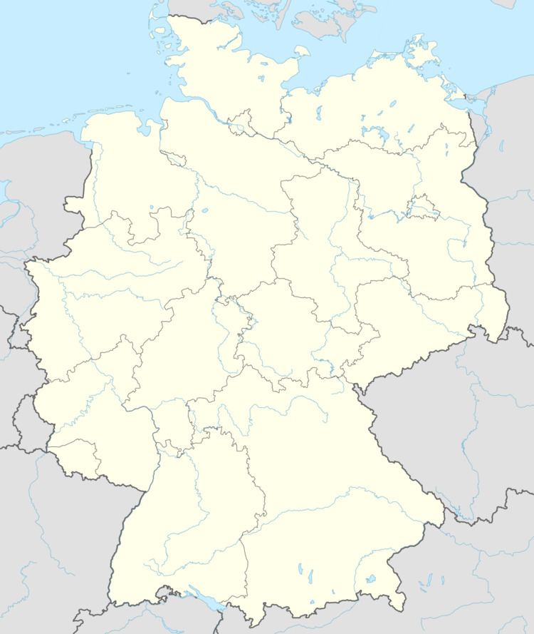
- Map of 97723 Oberthulba Germany
- Divisions of the municipality
- History
- Coat of arms
- Economy
- Notable residents
- References
Map of 97723 Oberthulba, Germany
Divisions of the municipality
History
With secularization of the government in 1803, the territory of the present municipality became part of Bavaria. In the Treaty of Pressburg between France and Austria in 1805, the lands of the Bishop of Würzburg were given to Ferdinand III, Grand Duke of Tuscany, and he was made Grand Duke of Würzburg, a new state, as a reward for his support of Napoleon. These lands then again became part of Bavaria in 1814 (this time permanently) at the defeat of Napoleon.
Coat of arms
The upper half is red, and the lower half has three white peaks with a blue band of waves. On the left is a silver bishop's staff, and on the right a gold St. John's cross.
Economy
In 1998, there were 545 businesses in the municipality. In 1999, there were 108 agricultural businesses, with 2424 ha under cultivation, 1523 ha in fields, and 887 ha in pasture.