
Population 5,270 (2013 est) State electorate(s) Bathurst Oberon Shire Blue Mountains Council seat Oberon | Region Central West Website Oberon Shire Area 3,659 km² Federal division Division of Calare | |
 | ||
Mayor Kathy Sajowitz (unaligned) Points of interest Blue Mountains National, Jenolan Caves, Six Foot Track, Oberon Dam, Mount Trickett Destinations Blue Mountains National, Oberon, Kanangra‑Boyd National Park, Abercrombie River National, Jenolan | ||
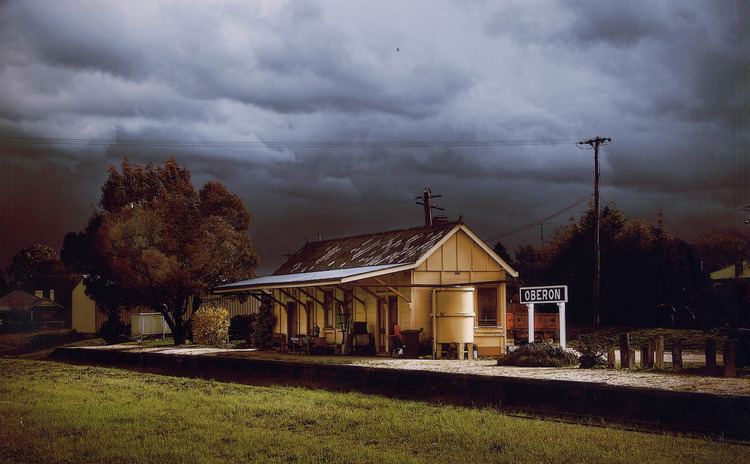
Oberon Shire is a local government area in the Central West region of New South Wales, Australia. Oberon Shire includes Oberon, Black Springs, Shooters Hill, Edith, O'Connell and Burraga.
Contents
Map of Oberon, NSW, Australia
The Mayor of Oberon Shire Council is Cr. Kathy Sajowitz, an unaligned politician.
Demographics
According to the Australian Bureau of Statistics there:
Current composition and election method
Oberon Shire Council is composed of nine Councillors elected proportionally as a single ward. All Councillors are elected for a fixed four-year term of office. The Mayor is elected by the Councillors at the first meeting of the Council. The most recent election was due to be held on 8 September 2012. However, only nine candidates, being the below, nominated for election. There being no additional candidates, the election was uncontested. The makeup of the Council is as follows:
The current Council, elected in 2012, in alphabetical order, is:
History
A 2015 review of local government boundaries recommended that the Oberon Shire merge with the Bathurst Region to form a new council with an area of 7,443 square kilometres (2,874 sq mi) and support a population of approximately 47,000. The outcome of an independent review is expected to be completed by mid–2016.