
Location Tyrol Max. length 740 m (2,430 ft) Surface area 16.5 ha (41 acres) Surface elevation 1,590 m Mean depth 13 m Width 71 m | Basin countries Austria Max. width 70.97 m (232.8 ft) Average depth 13 m (43 ft) Area 16 ha Length 740 m Inflow source Obernberger Seebach | |
 | ||
Similar Alps, Lichtsee, Ski‑ & Freizeit Arena Be, Stubai Alps, Maria Waldrast | ||
Obernberger see
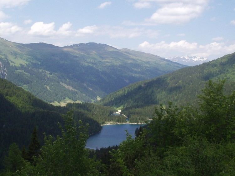
Lake Obernberg (German: Obernberger See) lies at an elevation of 1,590 metres in the municipality Obernberg am Brenner near the Brenner. It is the biggest lake on the southern side of Tyrol. The fresh water is provided by the Obernberger Seebach subterranean springs. Around the lake are travel paths.
Contents
- Obernberger see
- Map of Obernberger See 6157 Obernberg am Brenner Austria
- Things i do for shots obernberger see wipptal hiking austrian alps
- DetailsEdit
- References
Map of Obernberger See, 6157 Obernberg am Brenner, Austria
There was a prehistoric rock fall from the Obernberger Tribulaun (a peak on the north side of the lake). The lake is now separated into two parts, however in late spring and early summer the water level rise and the parts can get connected. On the rocks a chapel (Maria am See) was built in 1935.
The lake has a high quality on the surface and is one of the most beautiful mountain lakes of Tyrol. On the bottom of the lake is a curtain of algae making the water muddy at 13 metres. Bathing is prohibited, so that the fish population and the quality of the water remains untouched. Trout and other fish live in the lake.