
Admin. region Unterfranken Municipal assoc. Bad Brückenau Area 27.6 km² Local time Wednesday 3:49 AM | Elevation 408 m (1,339 ft) Population 2,051 (31 Dec 2008) Postal code 97789 | |
 | ||
Weather 2°C, Wind NE at 10 km/h, 89% Humidity | ||
Oberleichtersbach is a municipality in the district of Bad Kissingen in Bavaria in Germany.
Contents
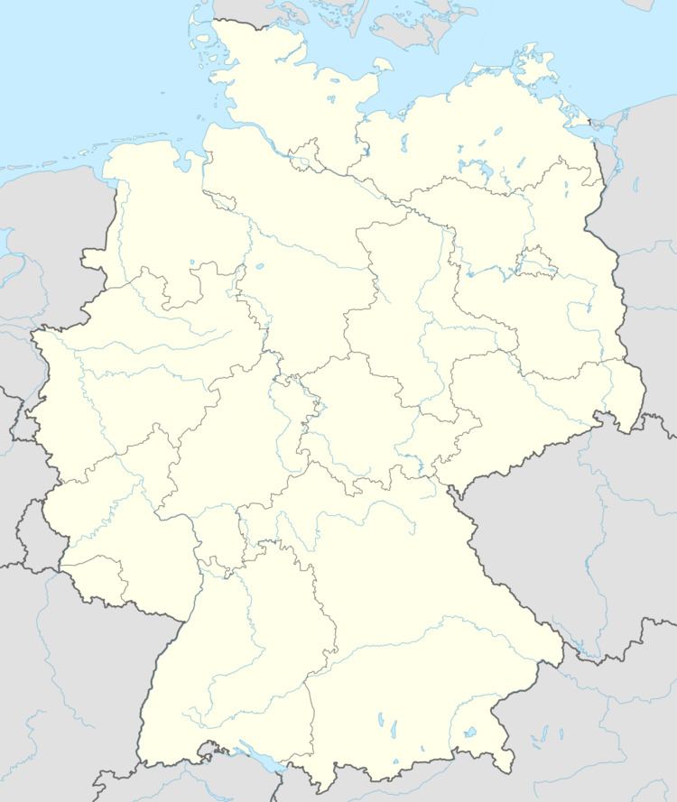
- Map of 97789 Oberleichtersbach Germany
- Divisions of the municipality
- History
- Coat of arms
- Economy
- References
Map of 97789 Oberleichtersbach, Germany
Divisions of the municipality
The municipality includes the following towns:
History
Motten originally belonged to the Bishop of Fulda, and was secularized in 1803 and given to Archduke Ferdinand of Orange. In 1806, it became part of the Province of Fulde in France. In the Congress of Vienna in 1815, it was given to Austria. Since 1818, it has belonged to Bavaria.
Coat of arms
Quartered with 1 and 4 in silver with a cross; 2 and 3 divided diagonally gold and red.
Economy
In 1998, there were 428 businesses in the municipality. In 1999, there were 84 agricultural businesses, with 2091 ha under cultivation, 788 ha in fields, and 1296 ha in pasture.
References
Oberleichtersbach Wikipedia(Text) CC BY-SA