
Country United States County Fairfax ZIP code 20171 Elevation 108 m | Time zone Eastern (EST) (UTC-5) GNIS feature ID 2652111 Local time Tuesday 6:01 PM | |
 | ||
Weather 16°C, Wind NW at 16 km/h, 45% Humidity | ||
Oak Hill is a suburban unincorporated community located in Fairfax County, Virginia, United States.
Contents
Map of Oak Hill, VA 20171, USA
Geography
Oak Hill is located just east of Washington Dulles International Airport and south of the Dulles Toll and Access Roads. The town of Herndon lies immediately to the north, while the unincorporated community of Chantilly is adjacent to Oak Hill in the south. The United States Postal Service defines Oak Hill's boundaries by way of its ZIP code, 20171. Franklin Farm, Floris and McNair are census-designated places located within the larger Oak Hill community.
As an unincorporated area, Oak Hill's boundaries are not officially defined by either a municipal government, the government of Fairfax County, or the U.S. Census Bureau.
Public facilities
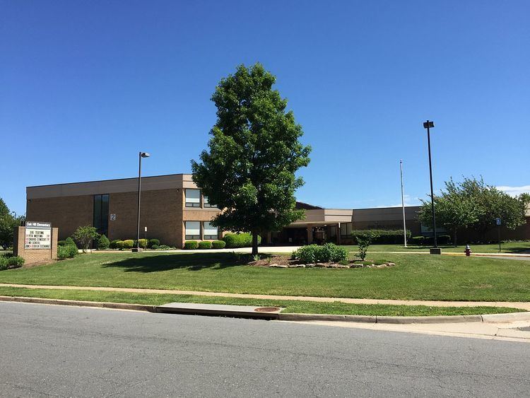
Schools serving the Oak Hill area (but not necessarily in Oak Hill), include Oak Hill Elementary, Fox Mill Elementary, Floris Elementary, McNair Elementary, Lutie Lewis Coates Elementary, Navy Elementary, Crossfield Elementary, Franklin Middle School, Rachel Carson Middle School, Chantilly High School, South Lakes High School, Westfield High School, and Oakton High School.
The Oak Hill community is served by the Oak Hill post office. Mail may be addressed to Herndon or Oak Hill using zip code 20171.
Amenities include Frying Pan Farm Park, a working museum farm operated by Fairfax County Park Authority.
Notable residents
Charles Burlingame, pilot of the doomed American Airlines Flight 77 aircraft which was crashed by terrorists into the Pentagon during the September 11, 2001 attacks, resided in Oak Hill before his death.