
Time zone SAST (UTC+2) Area 12,096 km² Black african population 99% | Municipal code DC15 White population 0.2% | |
 | ||
Local municipalities ListNgquza HillPort St JohnsNyandeniMhlontloKing Sabata Dalindyebo Colleges and Universities Walter Sisulu University, University of Transkei Points of interest Nelson Mandela Museum, Magwa Falls, Waterfall Bluff, Cape Hermes LightHouse, Hluleka Nature Reserve Destinations Port St Johns, Coffee Bay, Mthatha, Qunu - Eastern Cape, Lusikisiki | ||
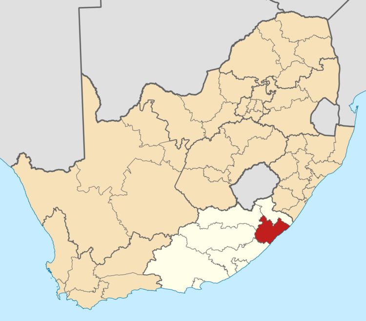
OR Tambo is one of the 7 districts of Eastern Cape province of South Africa. The seat of OR Tambo is Mthatha (formerly spelt Umtata). The vast majority (94%) of its 1,364,943 people speak Xhosa (2011 Census). The district is named after Oliver Tambo. The district code is DC15.
Contents
- Map of Transkei District South Africa
- Neighbours
- Local municipalities
- Demographics
- Election results
- References
Map of Transkei District, South Africa
The district is within Wild Coast Region.
Neighbours
OR Tambo is surrounded by:
Local municipalities
The district contains the following local municipalities:
After the 2011 municipal election, OR Tambo District shrunk, with Mbizana and Ntabankulu local municipalities being transferred to Alfred Nzo District Municipality.
Demographics
The following statistics are from the 2011 census.
Election results
Election results for OR Tambo in the South African general election, 2004.
References
OR Tambo District Municipality Wikipedia(Text) CC BY-SA