
- elevation 744 m (2,441 ft) - elevation 338 m (1,109 ft) | ||
 | ||
- right Deep Creek (Yarra Ranges, Victoria), Smith Creek (Yarra Ranges, Victoria) - location below Mount Observation Sources Yarra Ranges Council, Great Dividing Range | ||
The O'Shannassy River is a perennial river of the Port Phillip catchment, located in the north-eastern Greater Metropolitan Melbourne region of the Australian state of Victoria.
Contents
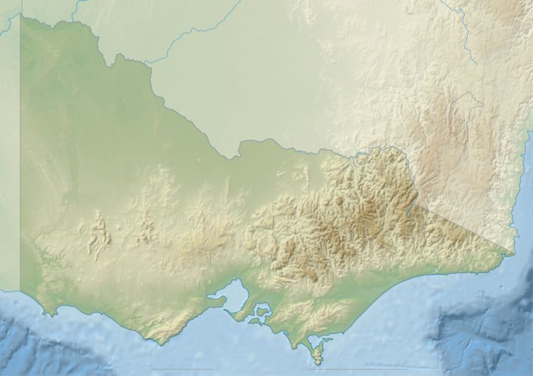
Map of Oshannassy River, East Warburton VIC, Australia
Location and features
The O'Shannassy River rises within the Yarra Ranges National Park on the slopes of the Yarra Ranges, within the Great Dividing Range, below Mount Observation, approximately 80 kilometres (50 mi) east of Melbourne. The river flows generally south by southwest, joined by two minor tributaries, before being impounded to create the O'Shannassy Reservoir, part of Melbourne's water supply system. Below the reservoir the natural flow of the river is diverted via the O’Shannassy Aqueduct and then reaches its confluence with the Yarra River west of the locality of McMahons Creek. The river descends approximately 406 metres (1,332 ft) over its 15-kilometre (9.3 mi) course, before being diverted via the aqueduct.
The O’Shannassy River catchment is identified as an Essentially Natural Catchment by the Land Conservation Council.
Etymology
The river is named after John O'Shanassy (sic), the second Premier of Victoria.