
District Medak PIN 502256 Elevation 585 m Population 3,513 (2001) | Time zone IST (UTC+5:30) Vehicle registration TS-23 Local time Tuesday 1:56 PM | |
 | ||
Weather 33°C, Wind NE at 8 km/h, 21% Humidity | ||
Nyalkal is a village in Medak district of Telangana, India.
Contents
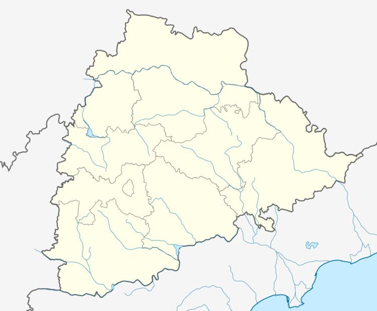
Map of Nyalkal, Telangana
It is bounded by Manoor, Raikode, Jharasangam and Zahirabad mandals in Medak district and Bidar district of Karnataka state.
Geography
Nayalkal is located at 17.8500°N 77.6667°E / 17.8500; 77.6667. It has an average elevation of 585 metres (1922 ft).
Demographics
According to Indian census, 2001, the demographic details of Nyalkal mandal is as follows:
Nyalkal village has a population of 3,513 in 2001.
References
Nyalkal Wikipedia(Text) CC BY-SA