
Topo map NTS O11/E11 Elevation 360 m | Easiest route drive/hike | |
 | ||
Similar Dalhousie Mountain, Ski Wentworth, Ski Martock | ||
Nuttby Mountain is a Canadian peak in the Cobequid Mountains and one of the highest elevation points on the mainland portion of Nova Scotia.
Map of Nuttby Mountain, Nuttby, NS, Canada
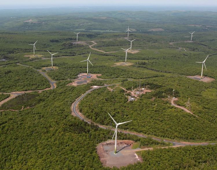
Located west of Route 311 north of Truro, the peak is accessible by vehicle using a gated road and is topped by telecommunication towers and a forest fire surveillance tower. A 45-megawatt wind farm was constructed on a 400-acre site on the mountain in 2010.
References
Nuttby Mountain Wikipedia(Text) CC BY-SA