
Country Canada Established 1835 Founded 1835 | Incorporated April 17, 1879 Population 50,585 (2016) | |
 | ||
University Dalhousie University Faculty of Agriculture Points of interest Victoria Park - Truro - Nova Sco, Shubenacadie Wildlife Park, Balmoral Grist Mill Museum, Sutherland Steam Mill Museum, Fundy Geological Museum Destinations Truro, Tatamagouche, Five Islands - Nova Sco, Ski Wentworth, Bible Hill | ||
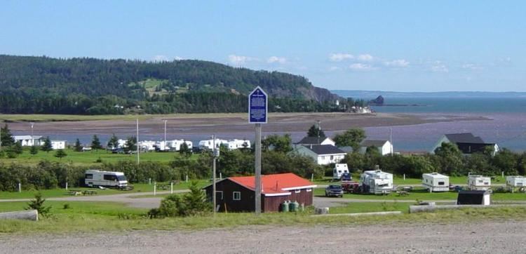
Murder on the bay of fundy a haunting response colchester county ns
Colchester County is a county in the Canadian province of Nova Scotia.
Contents
- Murder on the bay of fundy a haunting response colchester county ns
- Map of Colchester County NS Canada
- Settlement pt 2 a haunting voice colchester county ns
- History
- Communities
- Demographics
- Access Routes
- References
Map of Colchester County, NS, Canada
Settlement pt 2 a haunting voice colchester county ns
History
The appellation Colchester was applied in 1780 to the district previously called "Cobequid," and was derived from the town of Colchester in Essex. The old name Cobequid was derived from the Mi'kmaq word "Wagobagitk" meaning "the bay runs far up", in reference to the area surrounding the easternmost inlet of the Minas Basin, a body of water called Cobequid Bay.
The District of Colchester, which was at first part of Halifax County, was established as a county in its own right in 1835. In 1838 a distinct line of division between Cumberland County and Colchester County was established. Two years later, in 1840, the Township of Parrsboro was divided and part of it annexed to Colchester County. In 1871, the boundaries between the Counties of Hants and Colchester and between the Counties of Halifax and Colchester were established. In 1880 the boundary between the Counties of Halifax and Colchester was revised. Eventually in 1897 a portion of the boundary between the Counties of Colchester and Cumberland was fixed and defined.
The question of the boundary between Colchester and Cumberland Counties was the subject of a Commission of Inquiry established in 1946. The report was filed in the office of the Provincial Secretary and in the office of the Department of Lands and Forests in January 1959. Certified copies of it were sent to the Registrars of Deeds for the Counties of Colchester, Cumberland and Kings.
Communities
As towns, Stewiacke and Truro each have their own local governing councils. All other communities in the county are located within one of eleven electoral districts, each of which provides a representative to County Council. Additionally, a mayor is elected for the whole county. The mayor also sits on county council.
Demographics
As a census division in the 2016 Census of Population conducted by Statistics Canada, Colchester County recorded a population of 50,585 living in 22,229 of its 25,378 total private dwellings, a change of 3000199999999999999♠−0.8% from its 2011 population of 50,968. With a land area of 3,628.12 km2 (1,400.82 sq mi), it had a population density of 13.9/km2 (36.1/sq mi) in 2016.
Forming the majority of the Colchester County census division, the Municipality of the County of Colchester recorded a population of 36,091 living in 15,246 of its 17,814 total private dwellings in the 2016 Census of Population, a change of 2999850000000000000♠−1.5% from its 2011 population of 36,624. With a land area of 3,572.49 km2 (1,379.35 sq mi), it had a population density of 10.1/km2 (26.2/sq mi) in 2016.
Access Routes
Highways and numbered routes that run through the county, including external routes that start or finish at the county limits: