
OS grid reference SU788054 Local time Tuesday 6:43 AM UK parliament constituency Chichester | Sovereign state United Kingdom Postcode district PO18 | |
 | ||
Weather 5°C, Wind W at 18 km/h, 78% Humidity | ||
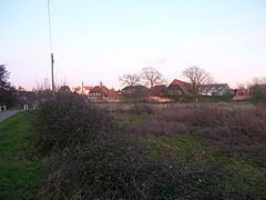
Nutbourne is a village in the Chichester District of West Sussex, England located 2 miles (3 km) east of Emsworth on the A259 road. At the 2011 Census the population was included in the civil Parish of Chidham and Hambrook.
Map of Nutbourne, Chichester, UK
It should not be confused with Nutbourne, Horsham which is also in West Sussex but lies within the civil parish of Pulborough.
This small village on the south side of the former A27 road, now the A259, has a loop of road running through it with a ford on the south side of the village centre. It lies at the northern tip of Thorney Channel, an inlet of Chichester Harbour.
References
Nutbourne, Chichester Wikipedia(Text) CC BY-SA