
PIN 522303 Area 11.22 km² Population 9,236 (2011) | Time zone IST (UTC+5:30) Telephone code 08645 Local time Tuesday 12:09 PM Area code 08645 | |
 | ||
Weather 36°C, Wind NE at 3 km/h, 39% Humidity | ||
Undavalli crda plots tadepalli namburu nutakki penumaka kollipara tadikonda lands villas flats
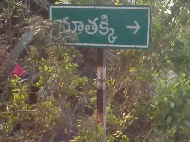
Nutakki is a village in Guntur district of the Indian state of Andhra Pradesh. It is located in Mangalagiri mandal of Guntur revenue division.
Contents
- Undavalli crda plots tadepalli namburu nutakki penumaka kollipara tadikonda lands villas flats
- Map of Nutakki Andhra Pradesh 522303
- Geography
- Government and politics
- References
Map of Nutakki, Andhra Pradesh 522303
Geography
Nutakki lies on the southside of River Krishna and about 12 kilometres (7.5 mi) southeast from Vijayawada.
Government and politics
Nutakki gram panchayat is the local self-government of the village. The panchayat is divided into 14 wards and each ward is represented by a ward member. The ward members are headed by a Sarpanch and the present sarpanch is . CH Komala is the secretary of the panchayat.
References
Nutakki Wikipedia(Text) CC BY-SA