
Airport type Public 2/20 4,700 Phone +1 707-469-4600 | Owner/Operator County of Solano Elevation AMSL 117 ft / 36 m Elevation 36 m | |
 | ||
Website www.co.solano.ca.us/... Address 301 County Airport Rd, Vacaville, CA 95688, USA | ||
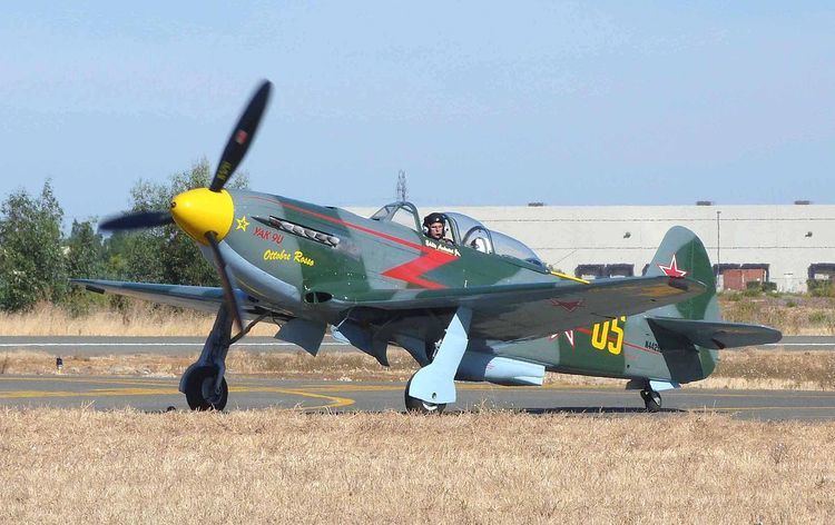
In the pattern at the nut tree airport
Nut Tree Airport (ICAO: KVCB, FAA LID: VCB, formerly O45) is a county-owned public-use airport located two nautical miles (3.7 km) northeast of the central business district of Vacaville, in Solano County, California, United States.
Contents
- In the pattern at the nut tree airport
- Landing at nut tree airport kvcb
- Facilities and aircraft
- References
The airport is near the junction of Interstates 80 and 505. It is adjacent to the Nut Tree retail/commercial development, which replaced a historic US 40 highway stop from which both derive their name.
Landing at nut tree airport kvcb
Facilities and aircraft
Nut Tree Airport covers an area of 262 acres (106 ha) at an elevation of 117 feet (36 m) above mean sea level. It has one runway designated 2/20 with an asphalt surface measuring 4,700 by 75 feet (1,433 x 23 m).
For the 12-month period ending March 3, 1995, the airport had 101,500 aircraft operations, an average of 278 per day: 98.5% general aviation and 1.5% air taxi. At that time there were 180 aircraft based at this airport: 90% single-engine, 8% multi-engine and 2% jet.