
Total islands 2 Area 232 ha | Highest elevation 0 m (0 ft) Elevation 0 cm | |
 | ||
Major islands North NuranaSouth Nurana Adjacent body of water Persian Gulf (also known as Arabian Gulf) | ||
Nurana Islands are a group of 2 islands in the archipelago of Bahrain, with a distance of 9 km (5.6 mi) west of the capital, Manama, on Bahrain Island.
Contents
Map of Nurana Island, Bahrain
Description
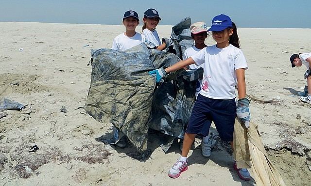
The proposed plan for the City was made in 2000, and they are part of the Northern City. It is a residential area that is being reclaimed and constructed by the Ministry of Housing in Bahrain. North Nurana is designated for more upscale villas, while South Nurana is more medium class. The islands were recently cleaned from debris.
Administration
The islands belongs to Northern Governorate .
Transportation
There is one causeways connecting South Nurana with Bahrain Island:
A future causeway called the Gulf Drive will connect the Nurana islands to Muharraq Island through all reclaimed islands in the north
References
Nurana Islands Wikipedia(Text) CC BY-SA