
Time zone SAST (UTC+2) Area 1,083 km² Black african population 99.4% Native zulu speakers 95.6% | Wards 8 Municipal code KZN283 White population 0.2% Native english speakers 1.3% | |
 | ||
District King Cetshwayo District Municipality | ||
Gold coins for sale ntambanana local municipality south africa
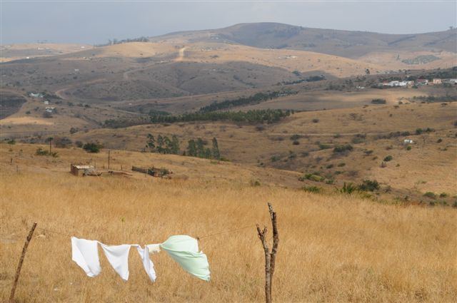
Ntambanana is an administrative area in the uThungulu District of KwaZulu-Natal in South Africa.
Contents
- Gold coins for sale ntambanana local municipality south africa
- Map of Ntambanana South Africa
- Vintage cars for sale ntambanana local municipality south africa
- Main places
- Politics
- References
Map of Ntambanana, South Africa
The municipality is named after the Ntambanana River, which passes through the municipality.
The Ingonyama Trust owns 85% of the land in the municipal area, with the remaining 15% being privately owned by commercial farmers.
Vintage cars for sale ntambanana local municipality south africa
Main places
The 2001 census divided the municipality into the following main places:
Politics
The municipal council consists of sixteen members elected by mixed-member proportional representation. Eight councillors are elected by first-past-the-post voting in eight wards, while the remaining eight are chosen from party lists so that the total number of party representatives is proportional to the number of votes received. In the election of 18 May 2011 no party obtained a majority, and the African National Congress (ANC) and the National Freedom Party (NFP) formed a coalition to govern the municipality. The following table shows the results of the election.