
Constituency Busiro South Local time Monday 11:59 PM | Region Central Uganda County Busiro Time zone EAT (UTC+3) | |
 | ||
Weather 20°C, Wind S at 6 km/h, 94% Humidity | ||
Nsangi is a town in Central Uganda. It is one of the urban centers in Wakiso District.
Contents
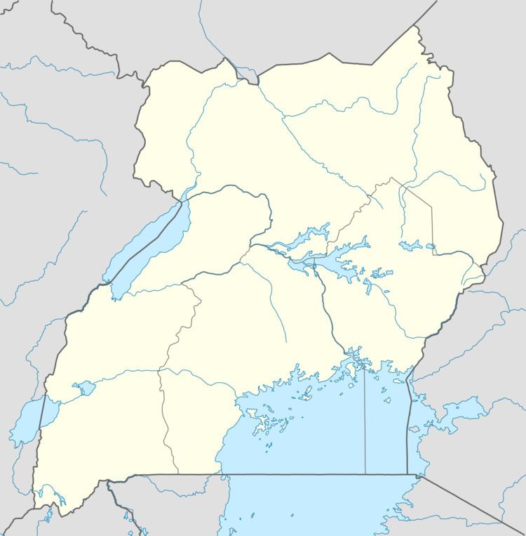
Map of Nsangi, Uganda
Location
The town is situated on the tarmacked, all-weather Kampala - Masaka Highway. Nsangi is located approximately 20 kilometres (12 mi), by road, west of Kampala, Uganda's capital and largest city. The coordinates of the town are:0°17'03.0"N 32°27'18.0"E (Latitude:0.284167; Longitude:32.455000).
Population
The exact population of Nsangi is not known as at February 2015.
Landmarks
The following points of interest are found within the own limits or near the town boundaries:
Economic activity
In the environs of town and in the surrounding Nsangi sub-county and in neighboring Ssisa sub-county, many households have engaged in the growing of Khat, also known as Miraa, but is locally referred to as Mairungi or Mayirungi. The product is sold in Kampala to members of the Somali community in Kisenyi, a section of he city. Truck drivers from neighboring Kenya also buy it for personal use and for re-sale in Kenya, where its use is more prevalent. Local growers have built houses, schools and bought personal property from the sale of this product. (Luganda)