
Coat of arms Flag Towns 1 Area 1,823 km² | Rural okrugs 8 | |
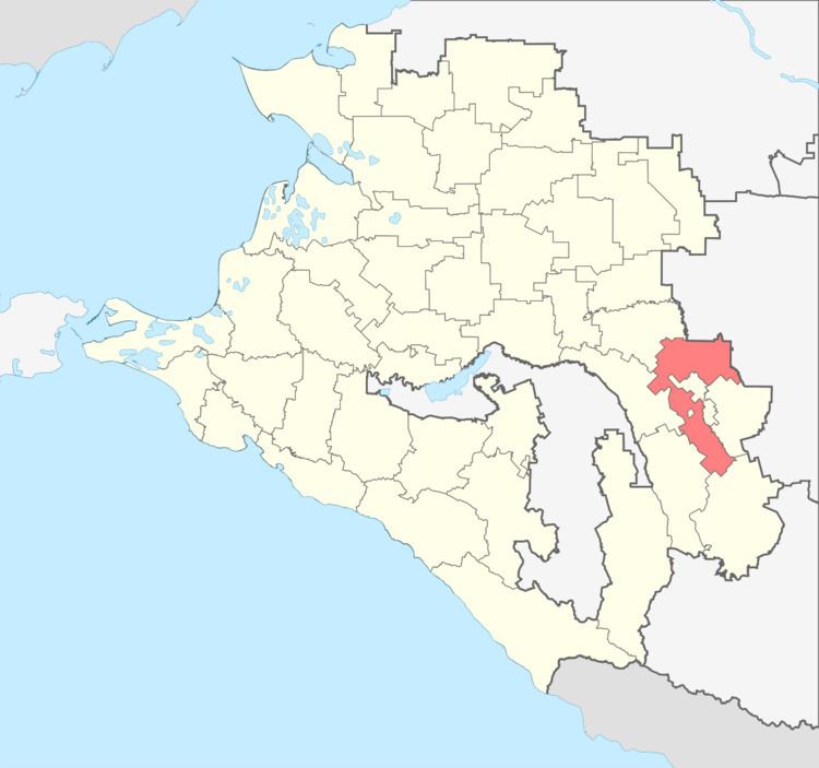 | ||
Novokubansky District (Russian: Новокуба́нский райо́н) is an administrative district (raion), one of the thirty-eight in Krasnodar Krai, Russia. As a municipal division, it is incorporated as Novokubansky Municipal District. It is located in the east of the krai. The area of the district is 1,823 square kilometers (704 sq mi). Its administrative center is the town of Novokubansk. Population: 86,311 (2010 Census); 87,478 (2002 Census); 76,275 (1989 Census). The population of Novokubansk accounts for 40.4% of the district's total population.
Contents
- Map of Novokubansky District Krasnodarskiy Kray Russia
- Geography
- Climate
- Economy
- Transportation
- References
Map of Novokubansky District, Krasnodarskiy Kray, Russia
Geography
The Kuban River flows through the district.
Climate
The district is vulnerable to extended drought conditions. Average annual precipitation is 551 millimeters (21.7 in).
Economy
The district has very fertile soil, so the agriculture and food industry are developed. Farmlands cover 1,370 square kilometers (530 sq mi), or 75% of the district's territory.
Transportation
Major federal roads and railway pass through the district, playing a substantial role in its economy and life of local communities.