
Length 30 km | ||
 | ||
North end: Rogers Rd. in Scot's Bay | ||
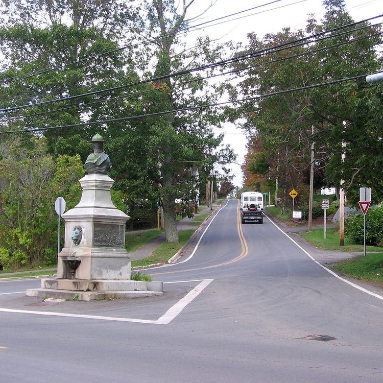
Route 358 is a collector road in the Canadian province of Nova Scotia.
Contents
Map of NS-358, Nova Scotia, Canada
It is located in Kings County and connects Greenwich at Trunk 1 with Scot's Bay. Between Port Williams and Canard, the highway crosses the Canard River and the low fields of the riverbank in a wide curve, tracing the path of the Grand Dyke, built by the Acadians about 1750.
Communities
Parks
History
The section of the Collector Highway 358 from Canard to Canning was designated as part of the Trunk Highway 41.
References
Nova Scotia Route 358 Wikipedia(Text) CC BY-SA