
Length 63 km | ||
 | ||
Counties: Halifax Regional Municipality County Halifax Regional Municipality | ||
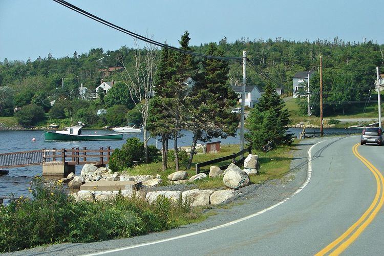
Route 333 is a collector road in the Canadian province of Nova Scotia.
Contents
Map of NS-333, Halifax, NS, Canada
It is located in the Halifax Regional Municipality, connecting Upper Tantallon at Trunk 3 with Beechville at Trunk 3.
From West Dover, Nova ScotiaWest Dover to Beechville it is named the "Prospect Road". The entire route is part of the Lighthouse Route scenic travelway.
Communities
Parks
Other
History
The entirety of Collector Highway 333 was once designated as Trunk Highway 33. Not to be confused with the current Trunk 33, also known as the Bedford Bypass.
References
Nova Scotia Route 333 Wikipedia(Text) CC BY-SA